
Trace the Beaverton Street Directory
Address work in Beaverton begins with a geographic match, not a name list. Washington County InterMap accepts an address, tax lot ID, or an assessment account beginning with R. Its map result can supply the tax lot, account, site address, and nearby parcel context. Use those identifiers to find the corresponding result in Washington County Public Access, where the property display can provide a Property ID, situs address, legal description, map number, and sale-history reference when available.
The next source depends on the question. A survey, plat, road, corner, or benchmark question goes to the county's Survey Explorer. A recorded-document question goes to the Recording Division with the legal description, tax lot, parties, approximate date, or instrument number. A city project may belong in Beaverton's electronic permitting route, while an unincorporated address may require the county system. Do not merge those sources into a single claim about a person at the address.
- Enter the complete address in InterMap, then save the returned tax lot, account, full address, and map layer date.
- Use the same address, tax lot, or property identifier in Public Access and retain the Property ID, situs address, legal description, and map number.
- Check the sale-history row for an
Inst #. It is a lead to a recorded instrument, not a deed image or a full chain of title. - Ask the Washington County Recording Division for the exact document or the applicable index, book, reel, or copy route.
- For older household clues, use the dated historical collections described in the Beaverton city directory collections rather than treating current parcel data as a past resident list.
Note: Record the source date with each identifier because parcel configurations, addresses, and public displays can change.
Beaverton Street Search in Public Access
Washington County Public Access is the county's guest property and tax portal. Its required Property Search field accepts any combination of a situs address, tax lot ID, or property identifier. At least three characters are needed before suggestions appear, and the tool normalizes hyphens and periods. The initial suggestions are labeled ADDRESS and PROPERTY ID, with ten shown before the full-results option. No dedicated guest owner-name input was verified, so a Beaverton street directory search should begin with an address or parcel identifier.
Full results default to Property ID, SitusAddress, and LegalDescription. Optional columns include NeighborhoodCode, Abstract, Subdivision, and PropertyType, and the results can be exported as SearchResultsExport.csv. A detail page may show owner and mailing fields, related properties, values, tax statements, and sale history. Those fields answer assessment and tax questions. A mailing address can differ from the property situs, and neither field establishes who occupies a place.
| Public Access field | Use in a street search | Important limit |
|---|---|---|
| Property Search | Search a street address, tax lot ID, or property identifier. | No verified dedicated owner-name input. |
| Suggestions | Choose an ADDRESS or PROPERTY ID match after three characters. | Confirm the full address before opening a record. |
| Full Results | Compare Property ID, SitusAddress, and LegalDescription. | Search result data is not a recorded deed image. |
| Sale History | Preserve sale date, parties, instrument number, price, and type. | A row is a lead, not a title conclusion. |
| CSV export | Save a result extract for documented comparisons. | It does not supply a recorder image package. |
InterMap Addresses for Beaverton Streets
InterMap supplies the normalization step that prevents a street-directory search from drifting between similar address forms. The Address Points layer records components such as house number, direction, street name, street type, unit number, city, ZIP, ZIP+4, tax lot, account ID, and full address. A unit is especially important. A matching street number without the unit may describe a different point in the same building. The Street Names layer adds left and right address ranges plus directional, locality, and postal fields, which can help test whether an address is plausible for a road segment.
Washington County's Address Points service is shown below. It documents the address components that support a careful Beaverton street directory match.
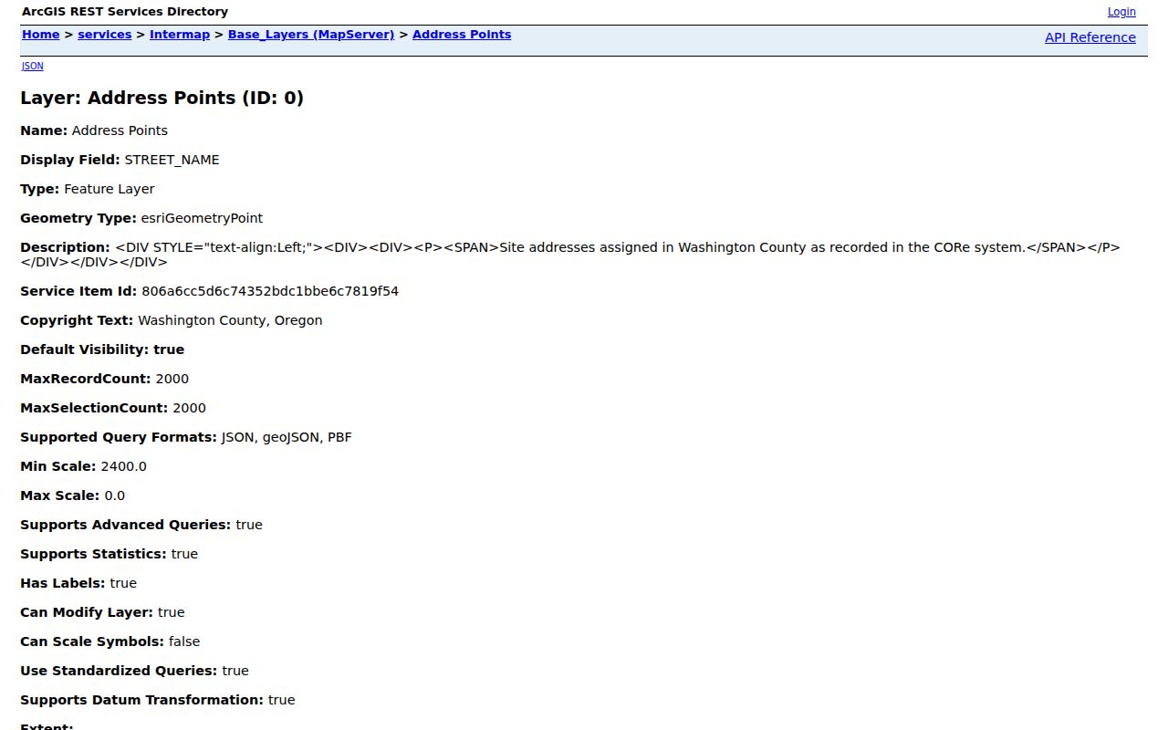
Use the point as a geographic key. It can connect a street address to a tax lot or account, but it does not supply a resident field or prove legal title.
- Parcel or tax lot
- A county land-reference unit. InterMap exposes parcel geometry and identifiers, while the controlling tax or document record comes from the appropriate county office.
- Situs address
- The physical property address shown in assessment context. It can differ from the mailing address used for tax correspondence.
- Plat
- A recorded map or subdivision reference. Use the applicable survey, plat, or recorded document rather than map geometry alone when a boundary matters.
- Criss-cross directory
- A directory arranged by street rather than by name. No specific Beaverton volume with that format was verified, so confirm a particular volume before relying on one.
Beaverton Street Deed Records
The sale-history Inst # is the practical handoff from a current Beaverton property result to the document custodian. Washington County Assessment & Taxation, Recording Division records deeds, mortgages, contracts, liens, marriage licenses, and domestic-partnership documents. Research did not locate a current official public web grantor-grantee form or an online coverage statement. For that reason, a name alone is weak. Provide the instrument number when known, or give parties, a recording date range, document type, legal description, tax lot, and the property clue that produced it.
The Division's copy route includes lobby computers for free document viewing, self-prints at $0.50 per page, and prepaid copy requests by phone or email. County-made copies cost $4 for the first page and $0.25 for each additional page; certification adds $3.75. Phone is 503-846-8752 and email is recording@washingtoncountyor.gov. A counter visit to Room 130 at 155 N First Avenue in Hillsboro is the practical route when an online search is unavailable. Staff can locate and copy records but cannot resolve an ambiguous title issue or give legal advice.
The Washington County Recording Division page is shown here as the official source for document and copy access.
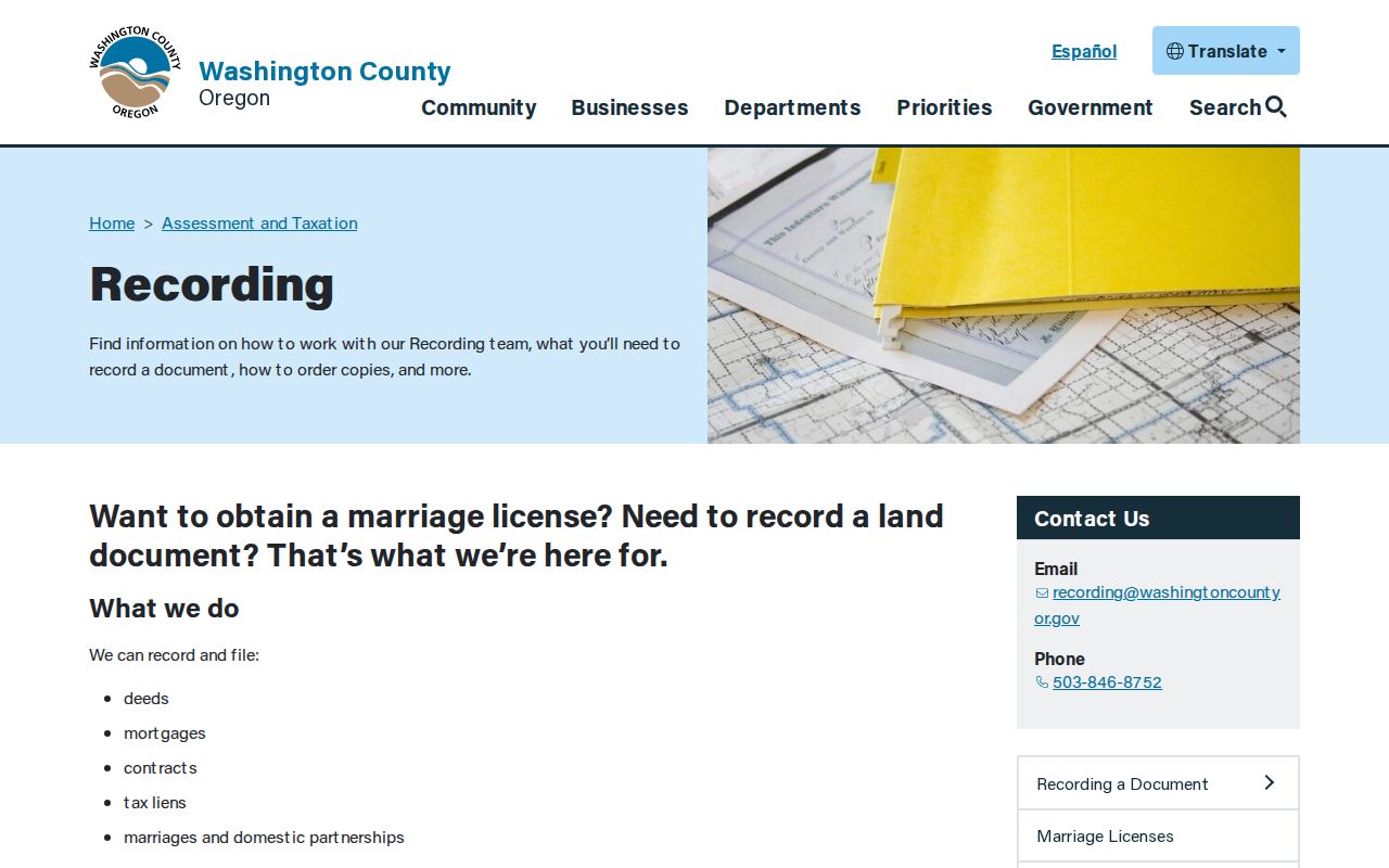
For a document request, save the parcel identifiers first. That lets the Recording Division distinguish a specific instrument from other documents involving similar names or nearby lots.
Beaverton Address Records by Street
Each address-keyed source answers a narrow question. InterMap and Address Points establish geographic form and county identifiers. Public Access contributes assessment and tax context. Recording holds the instrument copy. Survey Explorer helps when the question concerns a plat, road, corner, or survey reference. City permits and county permitting are separate routes, so jurisdiction must be checked before relying on either. This division of custody is useful because it keeps the Beaverton street directory trail tied to the record that actually controls the fact.
| Address record | Custodian | What it can show | Access route |
|---|---|---|---|
| Assessment and tax result | Washington County Public Access | Property ID, situs, legal description, map number, tax context, and sale-history lead. | Guest search by address, tax lot, or property identifier. |
| Parcel and address map | Washington County InterMap | Tax lot, account, full address, address point, street range, and map geometry. | Address, tax lot, or R-account search. |
| Recorded document | Washington County Recording Division | Deeds, mortgages, contracts, liens, and document copies. | Counter, phone, or prepaid email request. |
| Survey or plat clue | Washington County Survey Explorer | Surveys, plats, corners, section maps, county roads, and benchmarks. | Search by address, tax lot, reference, or date range. |
| Election geography | Washington County Elections | Officials, district maps, and precinct maps for a location. | Election map location search, not a name roster. |
Oregon My Vote provides a resident's own registration and ballot-status route, but its secure ORESTAR entry showed a CAPTCHA before the search form during research. Oregon law controls voter-list access and protects some addresses. Participation history, when lawfully obtained, concerns whether an elector voted, never ballot selections.
Beaverton Street Permit Boundaries
A street address can lead to a permit or planning record only after the city-versus-county jurisdiction is confirmed. The City of Beaverton directs users to its Lookup a Record route in the electronic permitting system. Its public page is JavaScript rendered, and this research did not verify a complete anonymous field list, results inventory, or first coverage year. That is a reason to preserve an address, unit, tax lot, and record number if visible, not a reason to treat a missing web result as proof that no record exists.
For an address under county rather than city jurisdiction, the county's Accela planning and permitting entry point is the relevant public route. A plan set, inspection, complaint, correction, or final record should be requested from the custodian using its record number and date range.
Historic Beaverton Street Evidence
Historic street research needs a date attached to every address form. The State Archives inventory describes Washington County tax-lot cards and ownership books from 1959 to 2005, county aerial materials including 1955 to 1996, and deed/index series reaching from the nineteenth century into 1977. The inventory was compiled from a 2013 survey, so current availability, copying rules, and reel or book access must be confirmed with the office. These sources can bridge a prior street pattern or development change, but an aerial image does not by itself establish an address change, permit, or current boundary.
Washington County Survey Explorer supplies the county's road, plat, survey, corner, benchmark, and section-map references.
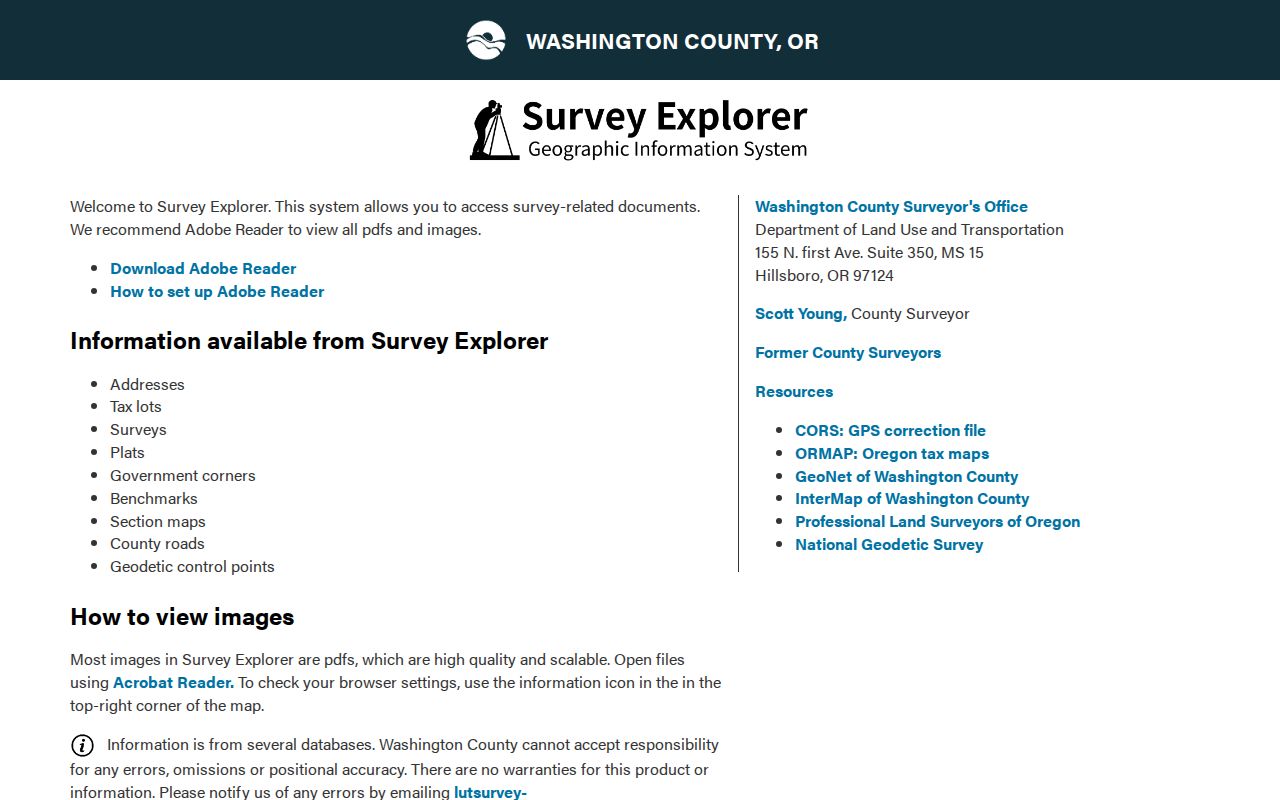
Its section maps stopped updating property boundaries and annexations on April 25, 2012. Use the tool for a reference, then compare a current county or City source with the relevant recorded plat, survey, or legal description.
Beaverton's first recorded land claim dates to 1847, and incorporation followed in 1893. Those milestones explain why an older street trail may move between county land material, city-side administrative records, historic maps, and later address systems.
Note: Preserve the old printed address alongside its current county-normalized form instead of silently substituting one for the other.
Limits of Beaverton Street Searches
A Beaverton street directory cannot produce a complete list of people at every address. InterMap's published parcel layer has no owner-name field. Public Access can display owner and tax-mailing information, but the county warns that names and addresses protected under ORS 192.345 and ORS 192.368 remain hidden. An owner, document party, tax correspondent, permit applicant, map point, or voter-file entry has a distinct record role. None should be recast as proof of all occupants at a location.
Oregon's Safe at Home Address Confidentiality Program, ORS 192.820 to 192.868, and voter-address protections can restrict disclosure. Oregon Public Records Law, ORS 192.311 to 192.478, offers a request path for an existing public record but does not require an agency to create a new address list or disclose exempt information. Use the record for a lawful personal, civic, property, or historical purpose, and respect the custodian's limits.
Lawful use. Beaverton street records support careful personal, civic, property, and historical research. Do not use address information to stalk, harass, intimidate, or harm another person.
Beaverton Street Civic Context
For a civic context around an address, the City's Find My Neighborhood locator can identify the applicable Neighborhood Association Committee. Beaverton recognizes Central Beaverton; Denney Whitford/Raleigh West; Five Oaks/Triple Creek; Greenway; Highland; Neighbors Southwest; Sexton Mountain; South Beaverton; Vose; West Beaverton; and West Slope. The result can help locate public meeting or project material for an area.
A NAC boundary is not a parcel boundary, owner registry, or member list. Keep it as a civic-area label alongside the tax lot, address, and source date. That narrow use preserves the difference between local context and a claim about a person.