
Beaverton Block Sources
Each public source answers a narrower question about a Beaverton block. Washington County InterMap connects an address to its tax lot and nearby geometry. The assessment display adds property and tax context. Recording can supply a defined document after an instrument or legal-description lead is found. Civic neighborhood tools identify a participation area, not a membership roll. Keeping those functions separate prevents a map result from being mistaken for proof about who is currently at a particular address.
| Block source | Documented block detail | Access route |
|---|---|---|
| Washington County InterMap | Address, tax lot, account, parcel geometry, and nearby tax lots | Official map viewer; search by address, tax lot, or R account |
| Washington County Public Access | Property ID, situs, legal description, tax context, and an owner or mailing display when public | Guest search by address, tax lot ID, or property identifier |
| Washington County Recording | Defined deeds, mortgages, contracts, liens, and document copies | Counter, phone, or prepaid email request after a precise document lead |
| Oregon voter-list process | Statutorily releasable elector-file fields, subject to protections and use limits | Official request route, not a public block name search |
| City Neighborhood Association Committees | City-recognized civic area, public meeting, and contact context | Address locator and City NAC information |
A property owner, owner mailing address, and property situs can be three different facts. InterMap’s published parcel fields do not include an owner-name field, while the assessment display is about property and tax correspondence. Those limits matter when checking a Beaverton block: neither source identifies every person connected to it.
Map Beaverton Blocks by Parcel
Use the immediate parcel pattern rather than a broad radius. InterMap accepts an address, Tax Lot ID, or R assessment account. Its address-point and parcel layers provide the bridge from a typed address to tax-lot geography. Record the map layer and inspection date because these are live county data. A buffer can include nearby parcels that do not touch the target, so call a result adjacent only after identifying the shared boundary on the parcel map.
- Search the complete Beaverton address in InterMap. If it fails, retry with the number and street components, then use a tax lot or R account when one is already known.
- Choose the returned record and save the target parcel’s TLNO, Account, SITEADDR or FULLADDRESS, plus the map date or layer used.
- Zoom only enough to see polygons touching the target. Identify each polygon separately and record its own TLNO, Account, and address rather than copying the target identifiers.
- When a property record is needed, run that separate address or account in Washington County Public Access and preserve its Property ID, situs, legal description, and display date.
- For a document question, use a sale-history instrument or legal-description clue with Recording. For a longer named-street chain, use the Beaverton street directory route instead of treating a single block map as the whole street.
That sequence creates an auditable boundary-to-record trail. It does not show a full household at any parcel. If one polygon represents a multi-unit building, the map or property record may still lack the separate unit or person information needed to identify who is there.
Beaverton Neighbor Parcel Controls
InterMap supports search, identify, layers, legends, base maps, measurement, and result exports. Its Parcels or Tax Lots layer is visible, identifiable, queryable, searchable, and map-tipped. Published fields include TLNO, SITEADDR, SiteCity, Account, CITY, FULLADDRESS, coordinates, and geometry. The Address Points layer adds components such as house number, street name, unit number, ZIP, ZIP+4, TAXLOT, ACCOUNT_ID, FULLADDRESS, and SITUS_ID. These fields help distinguish two similar addresses and move a map result to the correct assessment record.
The configured identify function has a distance capability, but research did not locate a dedicated adjacent-parcels button. Use parcel browsing or clearly labeled buffer identify. A buffer is useful for a wider Beaverton block question, yet it can include parcels that only lie near the target. Screen geometry is also not a legal survey. For a consequential boundary question, compare the tax map with the applicable plat, survey, and recorded legal description.
Note: Survey Explorer can add plat, survey, road, corner, and benchmark references, but its section maps stopped updating property boundaries and annexations on April 25, 2012.
Beaverton Owners and Neighbor Records
A Beaverton parcel owner is not automatically a Beaverton neighbor. Washington County Public Access can display an owner name and mailing address when not suppressed, but the mailing address is used for tax correspondence and can differ from the situs. An address point maps a location. A parcel maps land. A sale history row identifies the parties associated with that displayed sale. None of those fields alone prove that a named person is currently present, identify an entire household, or resolve a same-name match.
| Source type | Appropriate Beaverton block use | Important boundary |
|---|---|---|
| Official parcel and assessment records | Check the land reference, tax context, recorded sale lead, and publicly displayed owner information | Owner and mailing data are not a current people roster; protected names and addresses can be hidden |
| Official recorded documents | Confirm parties, dates, legal descriptions, and instrument references through the custodian | A document role does not establish present residence or a complete title history by itself |
| Commercial neighbor-search tools | At most, treat a result as an unverified lead that needs independent official confirmation | Coverage, identity matching, dates, and data sources can be incomplete or wrong; do not use a result to contact or pressure someone |
Use the official record type that matches the question. A county map is the stronger source for parcel geography, while Recording holds the document copy. An absence in a web result is not proof that no document, person, or address form exists. It may reflect a protected record, a date gap, a source limitation, or a search that needs a counter or request channel.
Beaverton Neighborhood Associations
Beaverton recognizes 11 Neighborhood Association Committees, known as NACs. The Find My Neighborhood locator maps an address to its City-recognized civic area. It can help place a block in the right meeting, project, or public-contact context. It does not establish a property owner, a participant, or a person’s place of residence.
Record the locator result and date alongside the parcel references. The civic boundary may be useful when a map or public meeting record uses a NAC name, but it should not be confused with a legal subdivision or a parcel boundary.
The City’s Neighborhood Association Committees page is the public contact and meeting-information route. The City does not publish an address-searchable member directory or a citywide HOA membership database.
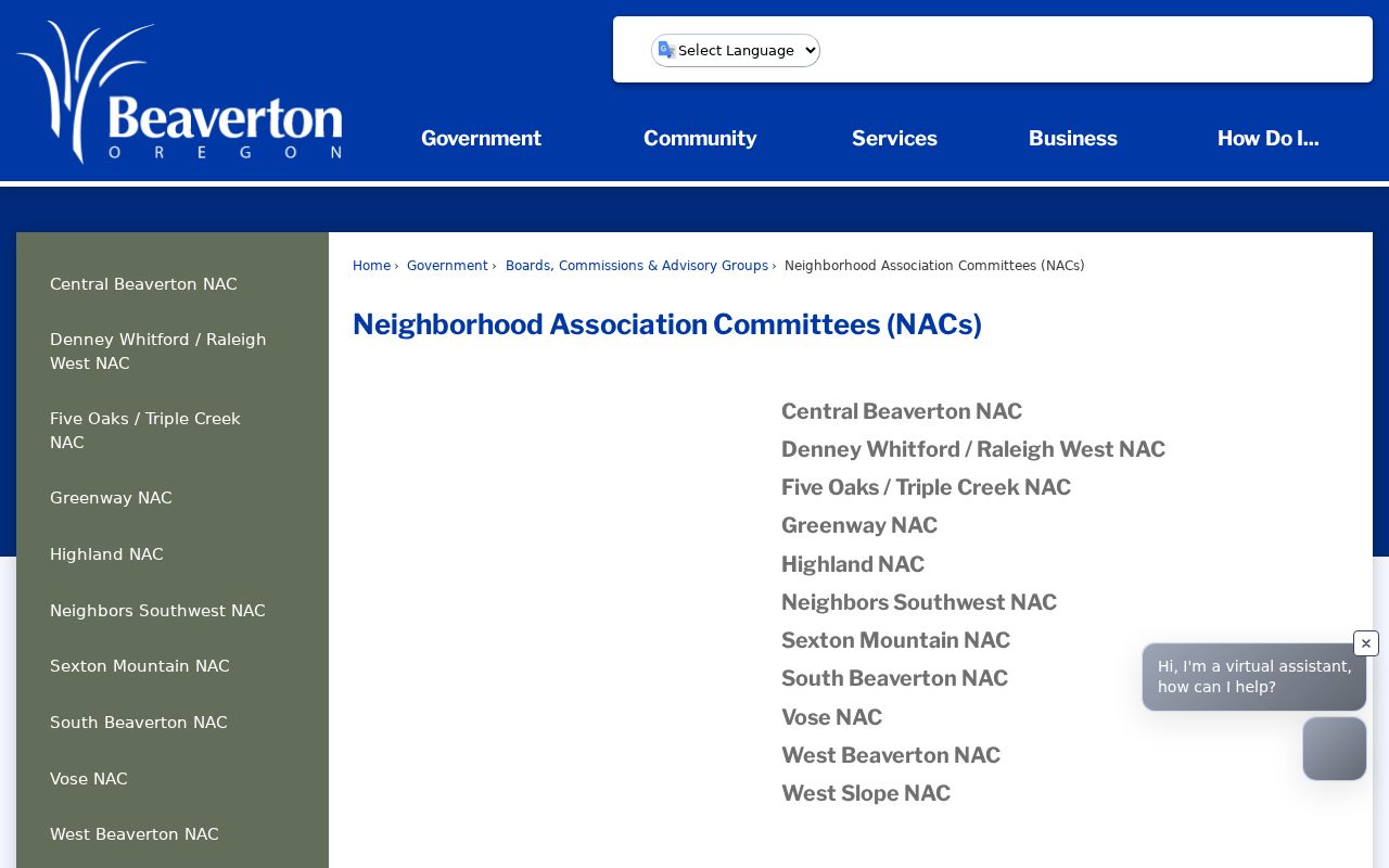
Use public City meeting notices, agendas, minutes, and listed contacts only for civic context. A named volunteer, attendee, or committee area is not evidence that a person owns or lives at a given address.
| City-recognized NACs | Public block-context route |
|---|---|
| Central Beaverton; Denney Whitford/Raleigh West; Five Oaks/Triple Creek | Use the City locator for the address, then the NAC page for public contact and meeting material |
| Greenway; Highland; Neighbors Southwest; Sexton Mountain | Keep the locator date and civic area separate from parcel ownership or household claims |
| South Beaverton; Vose; West Beaverton; West Slope | Use public civic information, not an assumed member or property list |
Beaverton Neighbor Voter Data
Oregon treats voter information as a defined statutory record set, not a casual block lookup. Oregon My Vote provides a person’s own registration and ballot-status route, but the underlying ORESTAR individual search was CAPTCHA-protected during research. Washington County’s election map is useful for district and precinct geography, not a list of nearby voters. For a list request, use the official process and state the geography, format, date needed, and payment contact.
Under ORS 247.948, a releasable elector file or list can include specified fields such as party affiliation, residence address, ballot-mailing address, birth year, precinct information, telephone number, and participation history, subject to protected-address rules. It does not show ballot choices. Address Confidentiality Program information, protected voter addresses, birth month and day, Social Security and driver-license numbers, signatures, and other protected fields remain nonpublic. A nonmatch cannot establish that someone never lived on the block.
Oregon’s Request for Voter List page describes electronic statewide and less-than-statewide requests. The statewide list is $500; a less-than-statewide electronic list has a $25 setup fee plus $0.025 per 100 records, and the State says to allow 10 business days. ORS 247.955 restricts commercial use of lists provided under the voter-list statutes. Those rules, along with ORS 247.965 address protections, mean voter data cannot be used as a complete Beaverton resident roster.
Beaverton Neighbor Permit Records
Permit and planning records can add project context around a Beaverton block, but first check which agency governs the address. The City directs users to the Beaverton Electronic Permitting System, while Washington County’s Accela entry point covers county planning, building, and code-compliance work. A City record and a County record are separate systems even where their maps touch. Save the full address and unit, parcel TLNO or account, record number, record type, and date range before seeking a releasable document.
The Washington County permit search is the appropriate public starting point only after the jurisdiction check supports a county route.
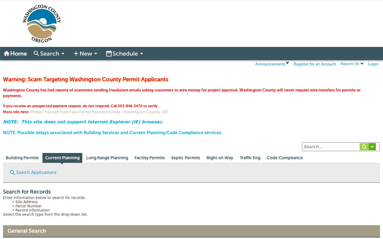
A permit result can identify a record lead, but an absence does not prove that no project, approval, or address form exists. Request the exact releasable record from the agency that controls it rather than drawing conclusions from an application title or a missing web result.
The City’s Lookup a Record route is part of BEPS. The public interface is JavaScript-rendered, and research did not verify a complete anonymous field list, result inventory, or coverage start year.
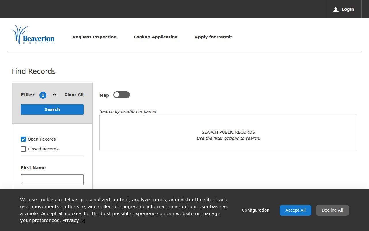
Use a visible permit number, address, or parcel clue to ask for the underlying record if it is releasable. Do not infer a code issue, construction date, ownership, or a person’s presence from a permit screen alone.
Beaverton Neighbor Privacy Limits
Public maps, assessment records, and civic boundaries have clear limits. They do not supply utility, delivery, or school lists, and they do not override a protected address. Oregon Safe at Home, ORS 192.820–192.868, permits qualifying participants to use a substitute address and restricts disclosure of actual program information. ORS 192.368 can support a safety-based request to suppress certain contact information in a public-body record, although it does not cover county property or lien records. The county guest property display also keeps statutorily suppressed names and addresses hidden.
Lawful use. Beaverton neighbor research can support civic awareness, family or property history, and personal safety. Do not use a public record to watch, threaten, repeatedly contact, harass, or expose anyone, and stop if a result appears protected.
When a record seems incomplete, preserve the source URL, result date, identifier, and the exact field at issue. Contact the owning custodian through an official route for a correction or a defined nonexempt record request. Oregon Public Records Law, ORS 192.311–192.478, is a fallback for an existing public record, not a way to reconstruct a protected address or compel creation of a new block roster.